The Unique Maps Co.
Old Map of Fruita, Colorado by USGS, 1962 – Colorado River & Monument Canyon
Old Map of Fruita, Colorado by USGS, 1962 – Colorado River & Monument Canyon
Couldn't load pickup availability
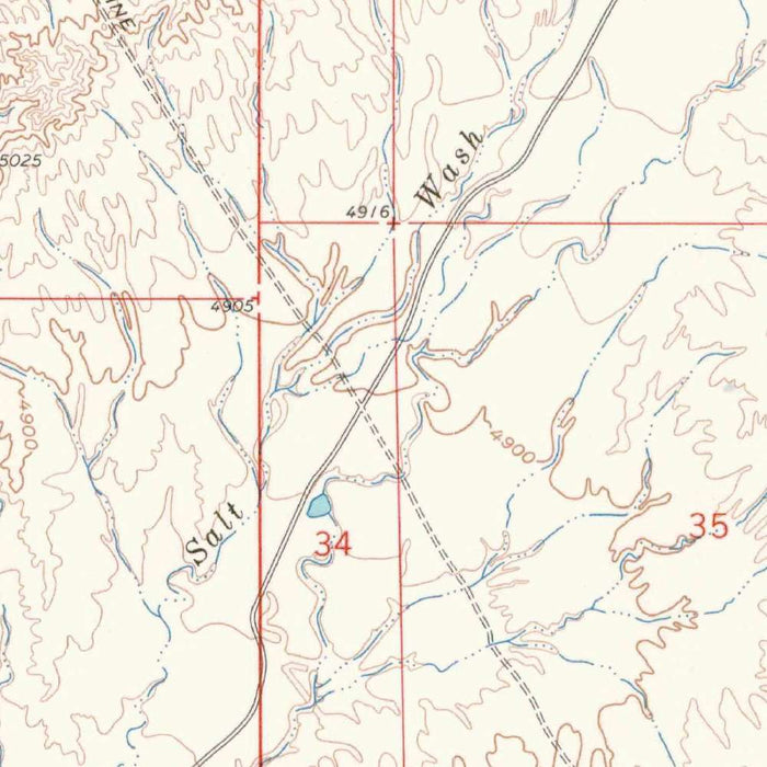
Published in 1964 from 1962 survey work, the US Geological Survey’s “Fruita” presents a finely measured portrait of western Colorado at a revealing moment in its modern history. Drawn at the detailed 1:24,000 scale, it captures the town of Fruita before later waves of expansion reshaped the Grand Valley. The map situates the community amid a landscape of agricultural parcels, transportation corridors, river bottoms, and rising terrain, offering both technical precision and a strong sense of place. Its clear grid, contour lines, and carefully differentiated land patterns reflect the USGS tradition of practical elegance: a map intended for field use, planning, and scientific reference, yet rich today as a historical record of settlement and landscape.
The US Geological Survey, founded in 1879, became one of the defining institutions of American cartography, tasked with documenting the nation’s terrain, resources, and geological character. By the mid-twentieth century, its quadrangle maps had achieved a remarkably consistent visual language: disciplined typography, exacting contour intervals, color-coded land and water features, and a coordinate framework that made the landscape legible at a glance. In this Fruita sheet, that language transforms mesa country, irrigated valley floors, and riverine corridors into an ordered composition. The result is not merely a navigation document, but a distilled scientific interpretation of place—one that reveals how elevation, water, roads, cultivation, and settlement converged in this corner of Colorado.
Fruita itself appears as the human anchor of the map, set within the broader corridor of the Colorado River and the transportation routes that helped define the region’s development. Highway 50 and associated local roads trace the practical arteries of movement through the valley, linking farms, parcels, and the town center to the wider Western Slope. The surrounding agricultural lands are especially evocative, showing the structured imprint of irrigation and cultivation in a semi-arid environment. In the early 1960s, Fruita remained closely tied to orchards, fields, and river access, and this map captures that balance between rural economy and emerging modern connectivity before later recreation, tourism, and suburban growth became more dominant forces.
The natural drama of the Fruita area is expressed through the map’s contours, which give the terrain a vivid three-dimensional quality. The Colorado River’s course contrasts with the surrounding hilly and broken ground, while nearby features such as Monument Canyon gesture toward the spectacular geology of the Colorado Plateau. The landscape around Fruita is one of transitions: fertile valley floors yielding to rugged canyon country, open desert margins, and uplifted terrain. The map’s shading and elevation lines make these changes immediately perceptible, allowing the viewer to read the rise and fall of the land with unusual clarity. It is a cartographic expression of a place where geology remains powerfully visible.
Beyond the town and river, the map evokes the larger recreational and ecological identity that Fruita would later become famous for. Areas associated with Rabbit Valley and the Little Bookcliffs region suggest a broader environment of open space, wildlife habitat, and desert-edge exploration. Today, Fruita is celebrated for mountain biking, access to Colorado National Monument, and its proximity to dramatic canyon landscapes; this map shows the foundations of that setting before those associations fully entered the popular imagination. Its historical significance lies in this dual perspective: it records the practical geography of a working early-1960s community while also revealing the enduring natural forms that would shape Fruita’s later identity as a gateway to western Colorado’s outdoor country.
Cities, towns and places on this map
- Fruita, Colorado
- Colorado River
- Monument Canyon
- Little Bookcliffs Wild Horse Area
- Rabbit Valley
- Highway 50
- Various unnamed parcels of land and agricultural areas
Historical context & cartographic details
- Produced by the US Geological Survey as a historical 1:24,000 topographical map.
- Dated 1962, with a 1964 imprint.
- The US Geological Survey was established in 1879 as a U.S. government scientific agency responsible for studying landscapes, natural resources, and natural hazards.
- Uses a clear grid system, contour lines to show elevation changes, and color-coded areas for different land types.
- Shows a mix of agricultural land, urbanized areas, rivers, mountains, and hilly terrain.
- Represents the area before significant modern expansion, offering insight into early-1960s land use and geography.
- Contour lines and shading create a three-dimensional effect, highlighting the natural topography of the area.
Looking for a particular place? Review the detailed images to confirm that the town, landmark or feature you have in mind appears on the map. If you are unsure, ask our workshop to check before you order.
Detailed maps are especially rewarding at larger sizes, where names, boundaries and decorative features have more room to be appreciated. Use the close-up preview and size guide to choose the right scale for your wall.
This map looks amazing at sizes all the way up to 50in (125cm). If you are looking for a larger map, please get in touch.
The model in the listing images is holding the 16x20in (40x50cm) version of this map.
Where personalisation is available, you can add a short title or dedication, mark one meaningful place, or request one considered visual detail. See personalised map examples.
Every piece is printed to museum-grade archival standards using fade-resistant pigment inks on acid-free matte paper. Choose an unframed map print, framed map or canvas using the finish options above. Framed maps use crystal-clear optical acrylic and arrive ready to hang.
With its rich detail and strong sense of place, this map makes a considered gift for a new home, anniversary, retirement or anyone with a personal connection to the area shown. Still deciding? Explore our collection of rare old and vintage maps to discover another place, period or style.
Share