The Unique Maps Co.
Old Map of Atlantic City, New Jersey by USGS, 1894 – Absecon Island & Egg Harbor
Old Map of Atlantic City, New Jersey by USGS, 1894 – Absecon Island & Egg Harbor
Couldn't load pickup availability
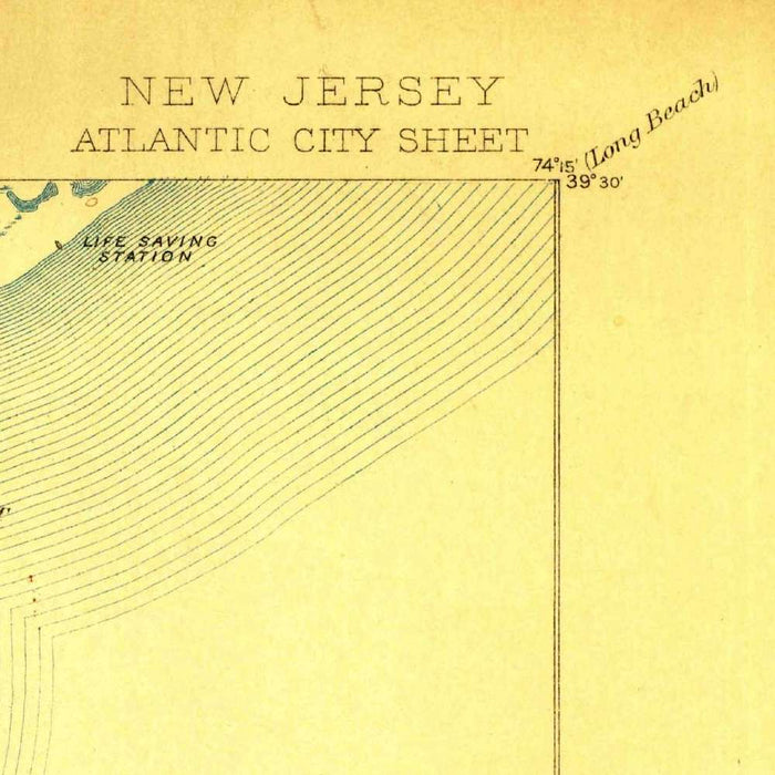
Published in 1909 from survey work dated 1894, the US Geological Survey’s “Atlantic City” captures a pivotal moment in the making of America’s most famous seaside resort. At a scale of 1:62,500, the map presents Atlantic City and its neighboring New Jersey coast with the disciplined clarity of late nineteenth-century federal cartography. Absecon Island, the site of Atlantic City, appears as a narrow, delicately drawn barrier between ocean and marsh, its geometry already hinting at the resort metropolis to come. The map is especially evocative because it records the landscape before many of the twentieth century’s transformative changes: intensified urban building, engineered shorelines, altered inlets, expanded road networks, and the continual reshaping of beaches by both development and the sea.
The US Geological Survey, founded in 1879, brought a new scientific rigor to the mapping of the United States, and this sheet reflects the agency’s characteristic precision. Rather than presenting the coast as a romantic panorama, the USGS describes it as a system of elevations, waterways, marshes, roads, and settlements. Contour lines record subtle variations in a region where even small changes in height matter, while blue tinting emphasizes the bays, inlets, tidal channels, and open Atlantic waters that define the geography. The result is both practical and elegant: a map made for study, planning, and navigation, yet possessing the restrained beauty of a carefully observed coastal environment. It is a portrait of land and water in constant negotiation.
Atlantic City itself was already nationally celebrated by the 1890s, its beaches, hotels, and boardwalk drawing visitors from Philadelphia, New York, and beyond. Yet on this map the city remains inseparable from its physical setting: Absecon Island, surrounding marshlands, and the sheltered waterways behind the beachfront. Nearby Ventnor, Margate, Longport, Pleasantville, and Somers Point appear within a wider coastal world still marked by open spaces, tidal flats, and modest connecting routes. This context is one of the map’s greatest pleasures. It shows not merely a resort town, but the ecological and geographic stage on which the resort was built—a barrier-island landscape shaped by wind, tide, sand, and the ambitions of a rapidly modernizing leisure culture.
The surrounding waters give the map much of its drama. Little Egg Harbor, Great Bay, Egg Harbor, Barnegat Bay, and the inlets along the Atlantic coastline form a complex chain of navigable passages, tidal basins, and protected reaches. These features were crucial to fishing, transportation, settlement, and the placement of roads and communities. Inlet structures and coastal openings underscore the instability and importance of this shore, where channels could shift and beaches could migrate over time. The map’s careful treatment of coastlines and waterways makes clear why this region has always required close attention from surveyors, engineers, and residents alike. It is a coastal map in the fullest sense: a study of boundaries that nature never allowed to remain fixed for long.
As a historical document, the “Atlantic City” sheet offers a compelling comparison between the late nineteenth-century Jersey Shore and the highly developed landscape known today. Galloway, Pleasantville, Somers Point, and the smaller settlements around the bays appear within a region still defined by marsh, woodland, road traces, and water access, while Atlantic City signals the new economic power of tourism. The USGS style gives this transformation a sober visual language, balancing human settlement against topographic fact. Its contours, blue water tint, and finely rendered shorelines preserve a coastline at the threshold of change: before larger-scale urban expansion, before extensive shoreline engineering, and before modern land-use patterns remade much of the area. It is a precise and quietly beautiful record of a resort coast coming into its modern identity.
Cities, towns and places on this map
- Atlantic City
- Absecon Island
- Little Egg Harbor
- Great Bay
- Egg Harbor
- Somers Point
- Galloway
- Longport
- Pleasantville
- Margate City
- Ventnor City
- Barnegat Bay
- Inlet structures along the coastline
- Various unnamed roads and trails
- Coastlines and beaches
Historical context & cartographic details
- Produced by the US Geological Survey, this historical 1:62,500 topographical map shows Atlantic City, New Jersey and the surrounding coastal area.
- Dated 1894 with a 1909 imprint.
- Published by the US Geological Survey, founded in 1879 and known for its geological, hydrological, and topographical mapping of the United States.
- Atlantic City was emerging as a popular resort destination by the late 19th century, known for its beaches and boardwalk.
- The map uses blue tinting for water bodies and contour lines to show elevation changes, typical of USGS mapping style of the period.
- It depicts elevations, waterways, and coastal features, illustrating the physical landscape of the region.
- The landscape has changed significantly since 1894 through urban development, coastal erosion, and shifting land use.
- The use of color and contour patterns reflects the cartographic standards of its time.
Looking for a particular place? Review the detailed images to confirm that the town, landmark or feature you have in mind appears on the map. If you are unsure, ask our workshop to check before you order.
Detailed maps are especially rewarding at larger sizes, where names, boundaries and decorative features have more room to be appreciated. Use the close-up preview and size guide to choose the right scale for your wall.
This map looks amazing at sizes all the way up to 50in (125cm). If you are looking for a larger map, please get in touch.
The model in the listing images is holding the 16x20in (40x50cm) version of this map.
Where personalisation is available, you can add a short title or dedication, mark one meaningful place, or request one considered visual detail. See personalised map examples.
Every piece is printed to museum-grade archival standards using fade-resistant pigment inks on acid-free matte paper. Choose an unframed map print, framed map or canvas using the finish options above. Framed maps use crystal-clear optical acrylic and arrive ready to hang.
With its rich detail and strong sense of place, this map makes a considered gift for a new home, anniversary, retirement or anyone with a personal connection to the area shown. Still deciding? Explore our collection of rare old and vintage maps to discover another place, period or style.
Share