The Unique Maps Co.
Map of Ennis, Montana by USGS, 1997 – Madison River & Tobacco Root Mountains
Map of Ennis, Montana by USGS, 1997 – Madison River & Tobacco Root Mountains
Couldn't load pickup availability
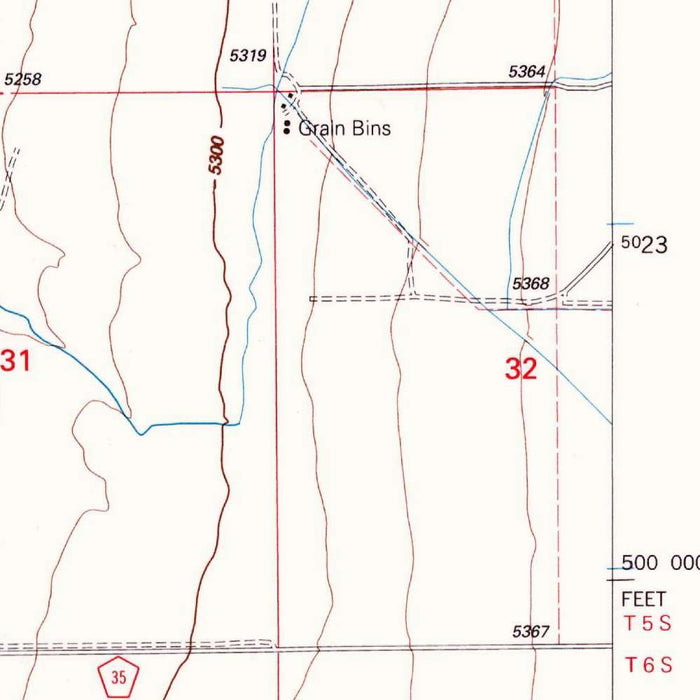
Published in 2002 from 1997 mapping, the USGS “Ennis Quadrangle” presents a finely observed portrait of Ennis, Montana, and its Madison Valley setting at the authoritative 1:24,000 scale. This is the classic scale of American topographic intimacy, where roads, watercourses, contours, settlement patterns, and public-land details are rendered with exceptional clarity. Ennis appears not merely as a town, but as a point of convergence between river, valley, highway, and mountain approaches. The muted USGS palette—greens for wooded terrain, blues for water, browns for elevation, and crisp black cultural detail—gives the map its disciplined elegance, allowing the landforms around Lake Ennis, the Madison River, and the surrounding rural grid to emerge with quiet precision.
The U.S. Geological Survey, founded in 1879, became the defining cartographic institution for mapping the American landscape in scientific detail. Its quadrangles were designed for use by engineers, geologists, land managers, hikers, planners, and local governments, yet they also possess a restrained beauty that appeals strongly to collectors. The “Ennis Quadrangle” belongs to this tradition of practical refinement: a map built for accuracy, but rich with visual texture. Every contour line records a measured rise or fall in the land, while every creek, road, and named feature anchors the terrain in human experience. In this sense, the map is both an instrument and a document—an exacting survey of place at a particular moment in time.
The geography shown is dominated by the Madison River system, one of southwestern Montana’s great landscape-defining waterways. Lake Ennis, also known as Ennis Lake, forms a broad reflective feature near the town, shaping settlement, recreation, irrigation, and wildlife habitat. Tributaries and nearby drainages such as Bear Creek, Duck Creek, Nevada Creek, Cattle Creek, Harris Fork, and North Willow Creek reveal the complex hydrology of this high valley country. Roads including U.S. Highway 287 and Montana Highway 87 thread through the terrain, connecting Ennis with surrounding communities and ranchlands. Forest Service roads, minor tracks, and rural routes add further detail, suggesting a landscape used for grazing, access, recreation, and resource management.
Historically, this part of Madison County sits within a region shaped by mining, ranching, transportation, and mountain exploration. Alder Gulch, associated with one of Montana’s great nineteenth-century gold rushes, lies within the broader historical geography evoked by this map, linking the quiet topographic language of the sheet to a dramatic frontier past. Nearby places such as Cameron, Alder, Twin Bridges, and Blanchard Flat speak to the network of small communities and working landscapes surrounding Ennis. The Tobacco Root Mountains and related uplands frame the valley’s western and northern horizons, their slopes captured through the close spacing and rhythmic movement of contour lines. The result is a map that quietly records both natural structure and human history.
As a late-twentieth-century topographic record, the “Ennis Quadrangle” offers a valuable snapshot of the area as it stood in 1997, before subsequent changes in development, land use, recreation pressure, and environmental management further altered the landscape. Its detailed depiction of waterways, wooded areas, roads, built features, and elevation change makes it especially compelling for those interested in Montana geography, fly-fishing country, ranching valleys, and the cartographic legacy of the USGS. The map’s appeal lies in its balance: scientifically precise yet visually understated, local in subject yet connected to the larger story of the American West. It captures Ennis not as an abstraction, but as a living place shaped by river, mountain, road, and time.
Cities, towns and places on this map
- Ennis
- Madison River
- Ruby River
- Cameron
- Nevada Creek
- Alder Gulch
- Duck Creek
- Lake Ennis
- Bear Creek
- Tobacco Root Mountains
- U.S. Highway 287
- Montana Highway 87
- Forest Service Roads
- Alder
- Harris Fork
- Cattle Creek
- North Willow Creek
- Twin Bridges
- Blanchard Flat
Historical context & cartographic details
- Produced by the U.S. Geological Survey as a historical 1:24,000 topographical map of Ennis, Montana, and the surrounding area.
- Dated 1997, with a 2002 imprint.
- Published by the U.S. Geological Survey, known for extensive topographic surveys and geological mapping.
- Shows the populated place of Ennis, Montana, along with significant geographical features and surrounding areas.
- Features a clear, detailed layout with elevation contour lines and water bodies.
- Uses muted tones typical of USGS topographic maps, helping make landforms easier to read.
- The 1:24,000 scale allows for detailed representation of elevation changes, wooded areas, waterways, and navigational features.
- Reflects the geography of the Ennis area as it was in 1997, offering insight into urban development, landscape changes, and environmental features.
Looking for a particular place? Review the detailed images to confirm that the town, landmark or feature you have in mind appears on the map. If you are unsure, ask our workshop to check before you order.
Detailed maps are especially rewarding at larger sizes, where names, boundaries and decorative features have more room to be appreciated. Use the close-up preview and size guide to choose the right scale for your wall.
This map looks amazing at sizes all the way up to 50in (125cm). If you are looking for a larger map, please get in touch.
The model in the listing images is holding the 16x20in (40x50cm) version of this map.
Where personalisation is available, you can add a short title or dedication, mark one meaningful place, or request one considered visual detail. See personalised map examples.
Every piece is printed to museum-grade archival standards using fade-resistant pigment inks on acid-free matte paper. Choose an unframed map print, framed map or canvas using the finish options above. Framed maps use crystal-clear optical acrylic and arrive ready to hang.
With its rich detail and strong sense of place, this map makes a considered gift for a new home, anniversary, retirement or anyone with a personal connection to the area shown. Still deciding? Explore our collection of rare old and vintage maps to discover another place, period or style.
Share